The pictures below are large thumbnails and if you click on them they should enlarge. To return to this page you will need to go to the previous screen (back arrow on the browser).
Kilimanjaro - Sylvia's Page
Kilimanjaro is the highest peak in Africa situated south of the Equator in Tanzania at 5895 metres (19349ft) above mean sea level. It is also the highest free standing volcano in the world.
Wikipedia has the following information:
Kilimanjaro, with its three volcanic cones, Kibo, Mawenzi, and Shira, is an inactive stratovolcano in north-eastern Tanzania rising 4,600 m (15,100 ft) from its base (and approximately 5,100 m (16,700 ft) from the plains near Moshi), and is additionally the highest peak in Africa at 5,892 metres (19,331 ft), providing a dramatic view of the surrounding plains.
While it is inactive, Kilimanjaro has fumaroles that emit gas in the crater on the main summit of Kibo. Scientists concluded in 2003 that molten magma is just 400 metres (1,310 ft) below the summit crater. Several collapses and landslides have occurred on Kibo in the past, one creating the area known as the Western Breach.
Mount Kilimanjaro is one of the largest stratovolcanoes in the world. Otherwise known as a composite volcano, it comprises numerous layers of lava, tephra and volcanic ash. Tephra is rhyolitic (an igneous, extrusive rock) in composition, and is formed by air-fall material of an eruption, which suggests the composite volcano was once active. However, at the moment it is dormant. According to experts there have been no eruptions in living memory. Recent studies suggest the last eruptions on the mountain were between 150,000 and 200,000 years ago.
Mount Kilimanjaro is in the shape of a mountainous volcano; it is formed by material being thrown up by the volcano vent, which then piles around the vent in the shape of a cone. Mount Kilimanjaro is made up of tephra, i.e. it has a cinder cone. They are made up of blobs of congealed lava and particles. When the mountain erupted millions of years ago, the gas-charged lava would be blown violently into the air, then breaking into smaller fragments which would solidify and fall as cinders. This left Mount Kilimanjaro with a bowl-shaped crater. It is not uncommon for a stratovolcano such as Mount Kilimanjaro to have experienced explosive eruptions. The lava from the mountain is viscous so it cools down before it spreads very far. The lava's viscosity also helps explain why Mount Kilimanjaro has relatively small crater formations. The rock on the mountain is felsic and thus has high levels of silica, especially tephratic silicate. This silica is also in alternating sectors, with lava flows and ejecta in different formations.
The volcano is the highest in Africa and covers an area of 388,500ha (157,200 acres). Although the volcano stands alone, it is a part of an east-west belt of volcanoes stretching over Northern Tanzania. It has three main concentric cones to the southeast in the mountain, but also has smaller parasitic cones. Also known as a satellite cone, the main vent is blocked by cooled solidified lava, and the lava is then forced out through the sides of a volcano under immense pressure. To the west side of the mountain is the peak Shira (3,962m or 12,999 ft), of which only the southern and western rims remain.
In addition to the west there is also a flat tableland. On the edges of this material is later material made by the former eruptions of the mountain, and so it’s a dissected plateau. This is a plateau which has been uplifted by volcanic activity, then been severely eroded, which explains the material around the edge of the plateau. The peak of Mawenzi (5,149m or 16,893 ft) - which is rugged and erosion-shattered- can be found in the east of the volcano. Its western face has many features: crags, pinnacles and dyke swarms. Crags are a steeped mass of rock projecting upward or outward. Pinnacles are high peaks or points of rock, but in Mount Kilimanjaros case then it’s a high point of rock. A dike (plural dyke swarm) is a type of sheet intrusion that cuts discordantly across. These come in several forms: planar wall rock structures or massive rock formations. On Mawenzi these are formed in igneous intrusions. These form in high aspect ratios, so the thickness is smaller than the other 2 dimensions. The dykes intrude into a cross-cutting fissure. These are linear volcanic vents through which lava erupts, although Mount Kilimanjaro is dormant so it does not happen.
To the eastern side of Mawenzi it falls into cliffs, with a complex system of gullies and rock faces. These rises from two massive gorges: the Great Barranco and Lesser Barranco. Gorges are deep valleys between cliffs that are formed by erosion, and were formed from the plateau that can be found to the eastern side of the mountain. The cliffs form because harder rock strata that are resistant to erosion/weathering remain exposed on the valley walls. The most recent summit is Kibo (5,891.8m of 19,330 ft) which was last active during the Pleistocene. There are still even fumaroles. Even though there haven’t been eruptions for millions of years, there are openings near Kobe in the Earth’s crust which emits steam and gases e.g. Carbon Dioxide, Hydrochloric Acid. It even emits solfatara (Sulphurous gases). They occur along the chaotic clusters and long fissures. The hot igneous rocks react with the groundwater, which makes it release gases.
The highest point on the mountain is the southern rim of the outer crater. Moreover, between Kibo and Mawenzi is the Saddle, in which it contains high altitude tundra. This type of vegetation forms at high levels of altitude because tree growth is hindered by low temperatures and short growing seasons. There is a wide range of vegetation despite being at high altitude such as dwarf shrubs, grasses, mosses and lichens. The ecotone (difference between tundra and forest) is called the timberland. On Mount Kilimanjaro there are radial valleys that can be found on the southern and eastern slopes. They are smaller valleys that flank the mountains main valleys.
Sylvia has wanted to climb Kilimanjaro for quite a long time and a few months ago we met a friend at a local shopping centre who said he was planning to climb the mountain. Immediately I suggested that Sylvia should go as well. I knew that I would not enjoy climbing Kilimanjaro at all (besides probably not being capable of making the climb) and I also knew that the window of opportunity for Sylvia to climb the mountain was closing so I encouraged her to go.
Sylvia reached the summit at 8:30am on 6 September 2009. She took a number of lovely pictures and I have inserted a few below. IN FIREFOX YOU MAY HAVE TO RIGHT CLICK ON THE BLOCK AND SELECT "OPEN LINK IN A NEW TAB" TO SEE THE PICTURE. HOWEVER THE PAGE SEEMS TO OPEN CORECTLY IN EXPLORER.
A slide show is here: https://www.youtube.com/watch?v=yzASMHPDxBk&feature=youtu.be
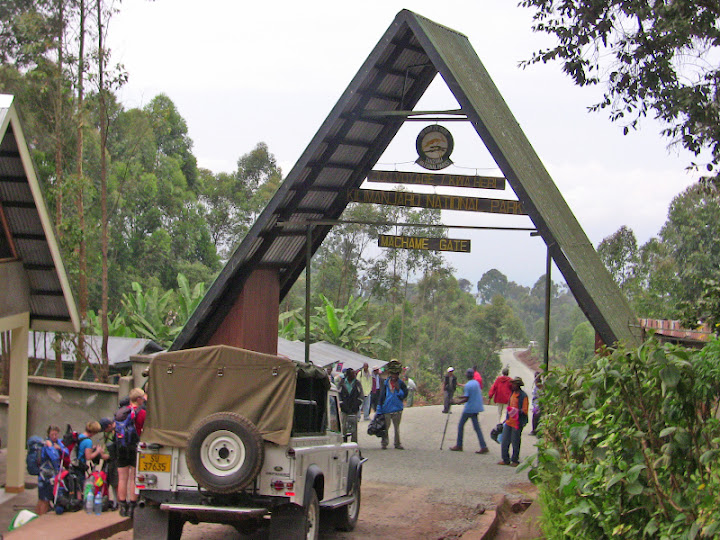
Machame Gate - where the climb begins - 1800 metres.
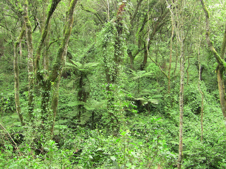
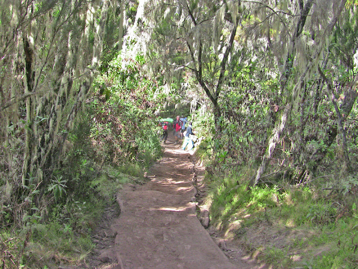
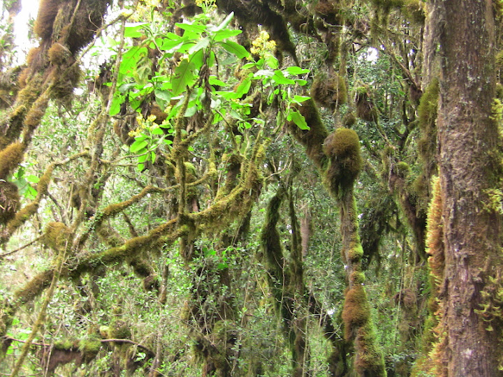
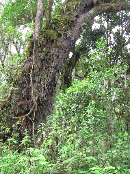
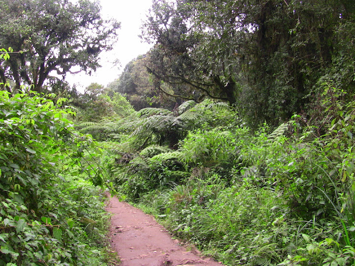
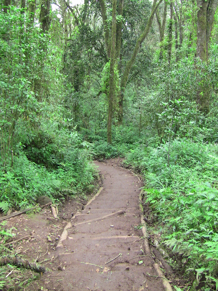
The rain forest - dense and lush.
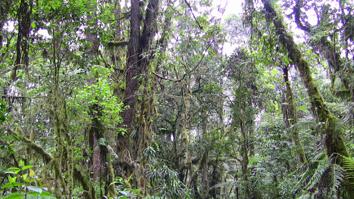
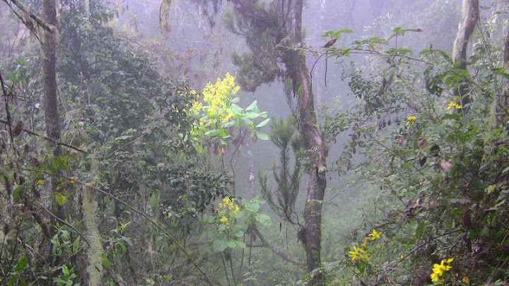
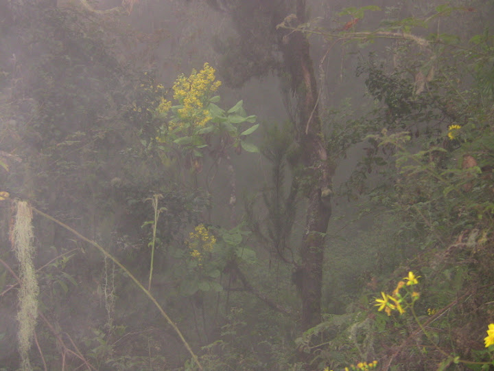
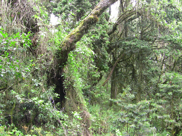
Mist in the rain forest.
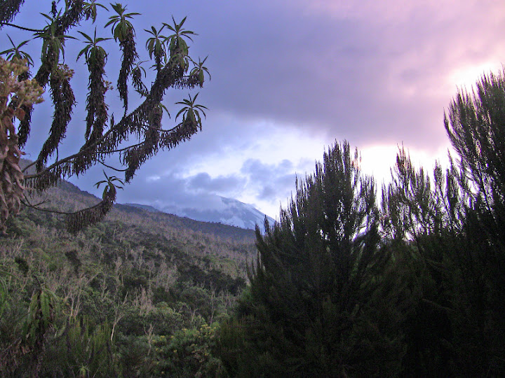
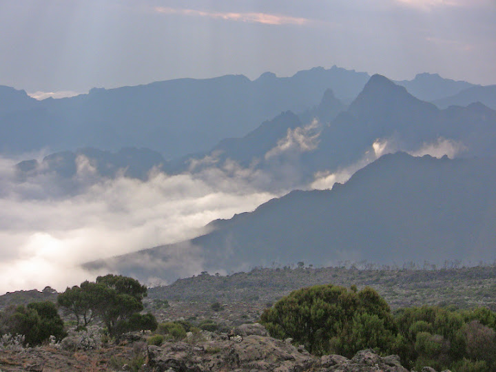
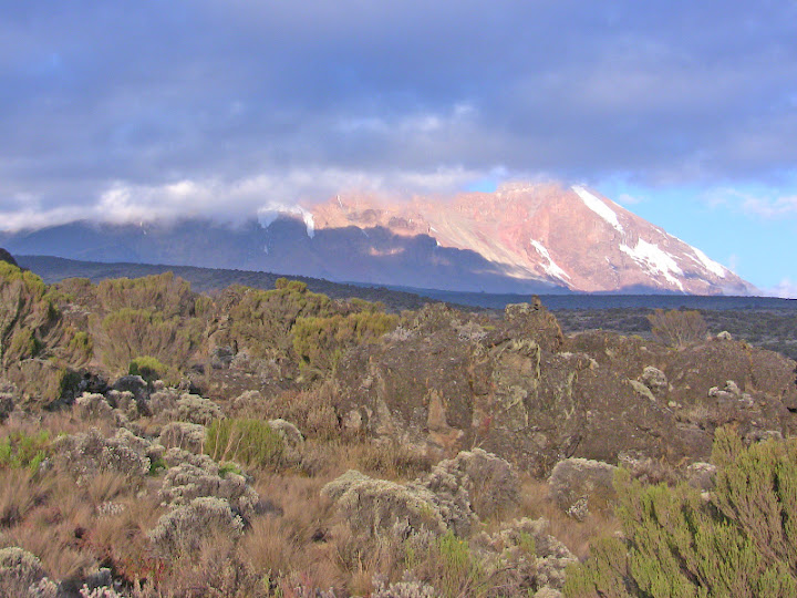
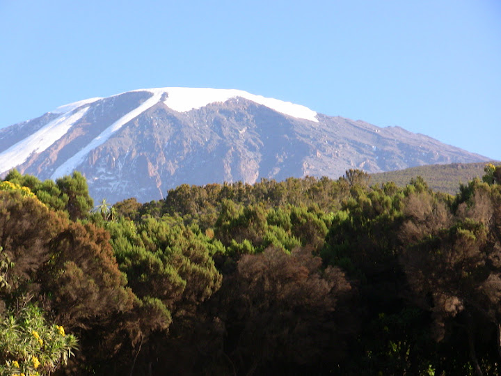
Taken from Machame Camp - looking towards Kili.
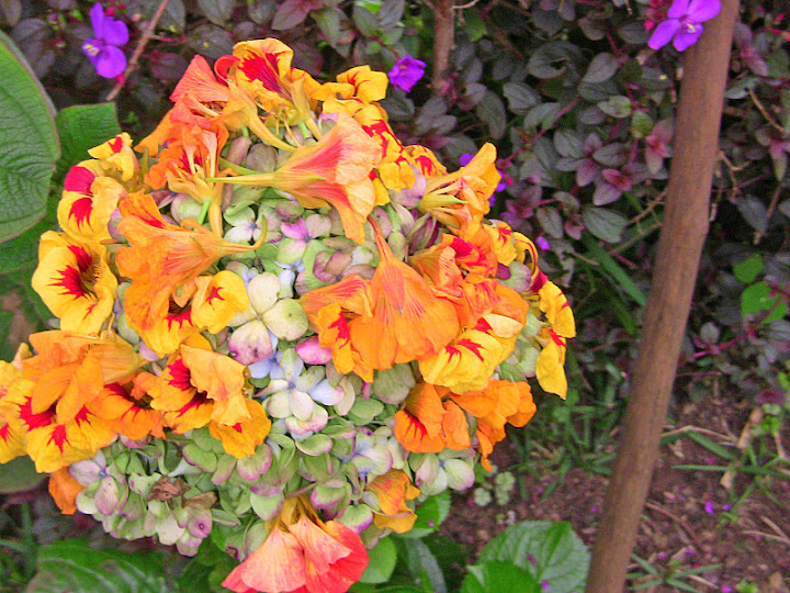
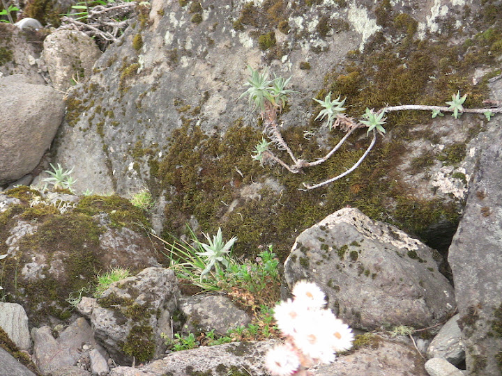
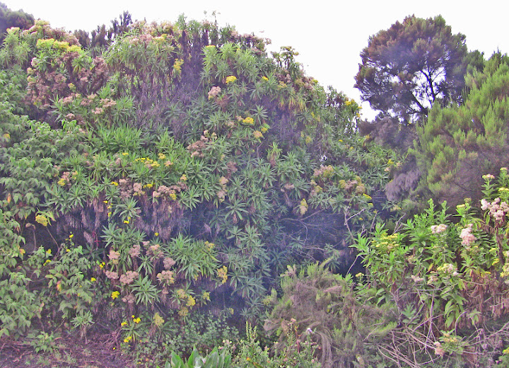
Yellow flowers on the route.
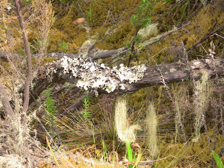
Lichen.
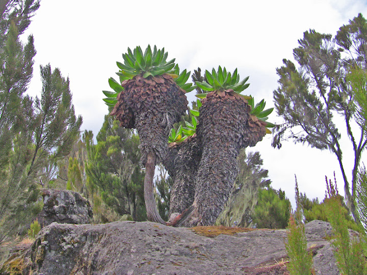
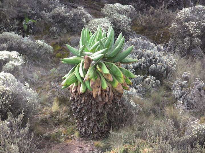
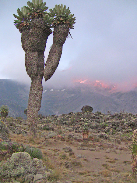
Giant Groundsels (Senecio Kilimanjari)
Walking towards Shira Camp.
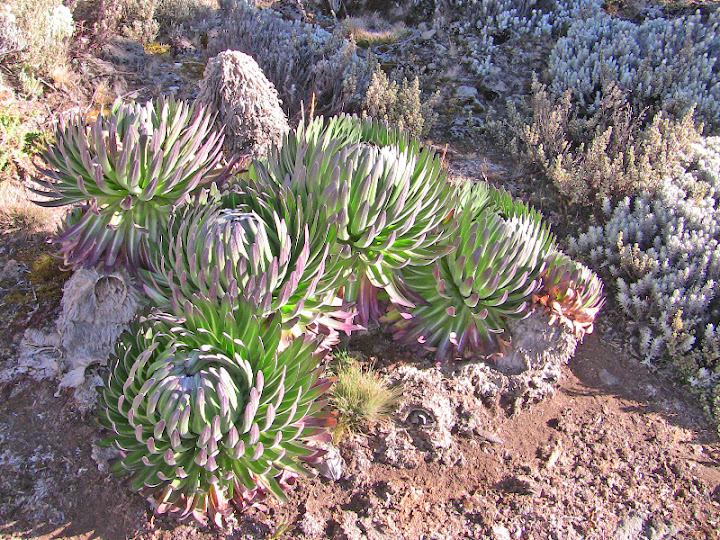
Young Giant Groundsels (Senecio Kilimanjari)
Going towards Shira Camp.
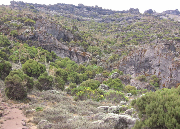
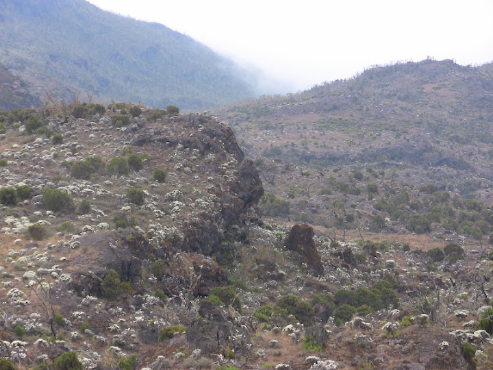
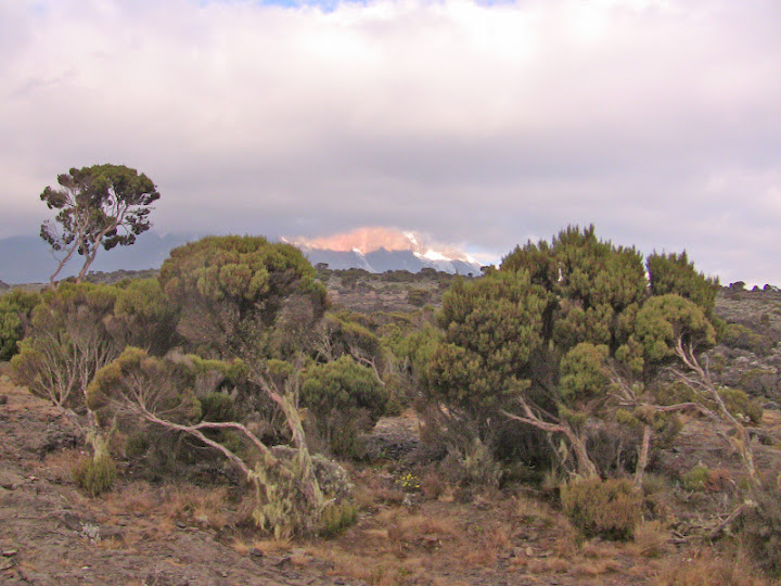
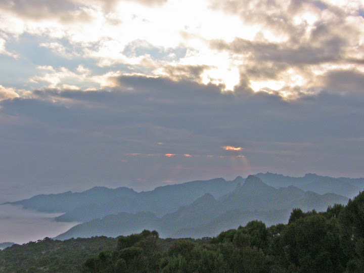
Views near Shira Camp (3840 metres)
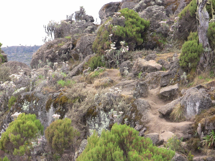
Leaving Shira Camp towards Barranco Camp.
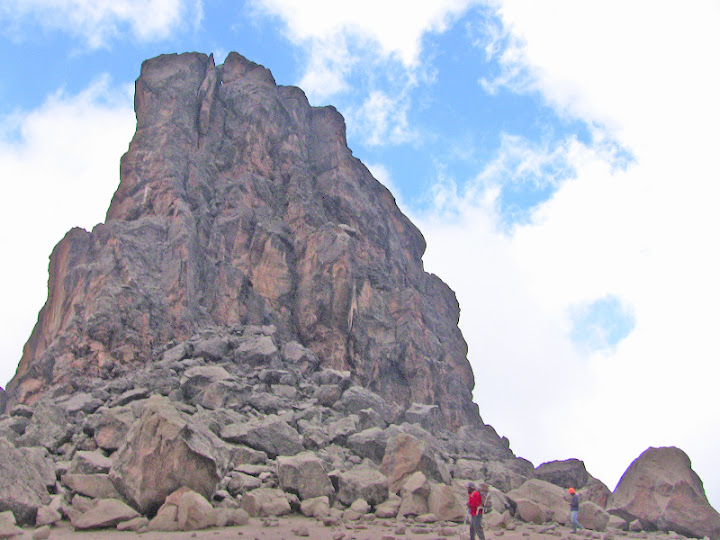
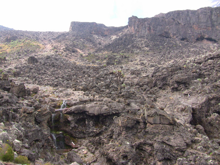
Lava Tower.
Going towards Barafu Hut.

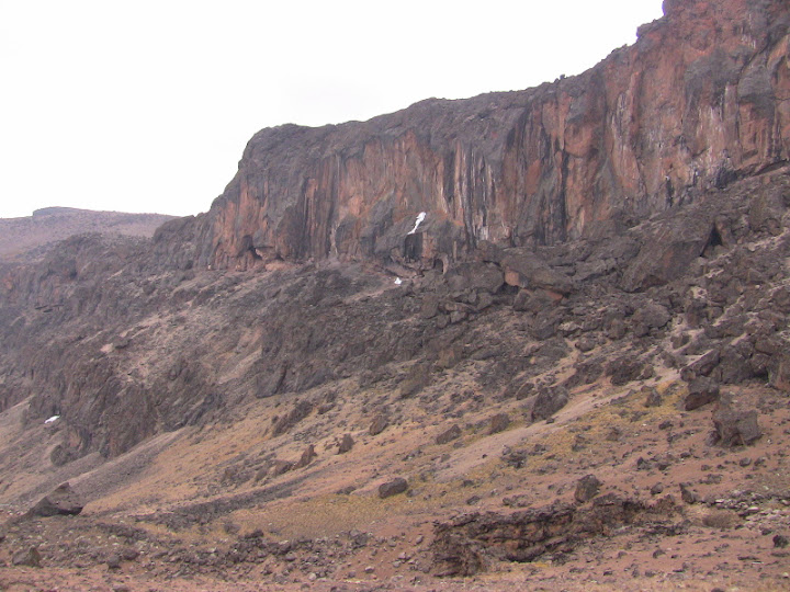
Barranco Wall.
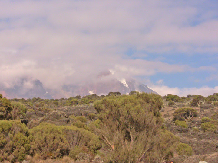
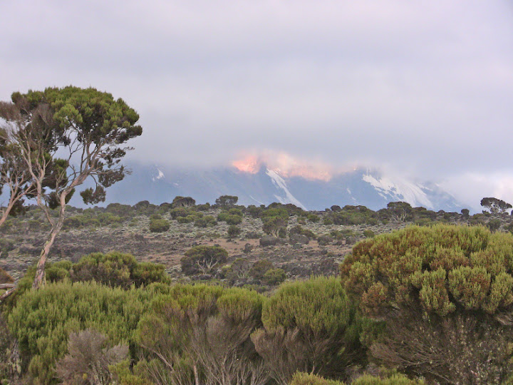
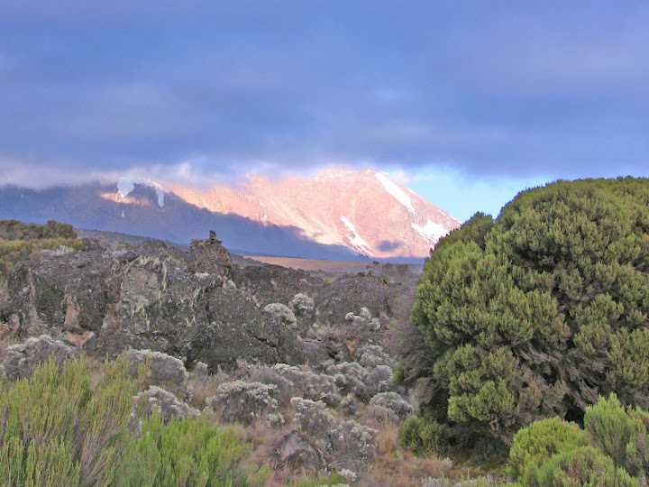
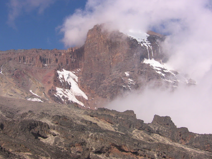
Snow on the mountain towards Barranco Camp.
Giant Groundsels (Senecio Kilimanjari)
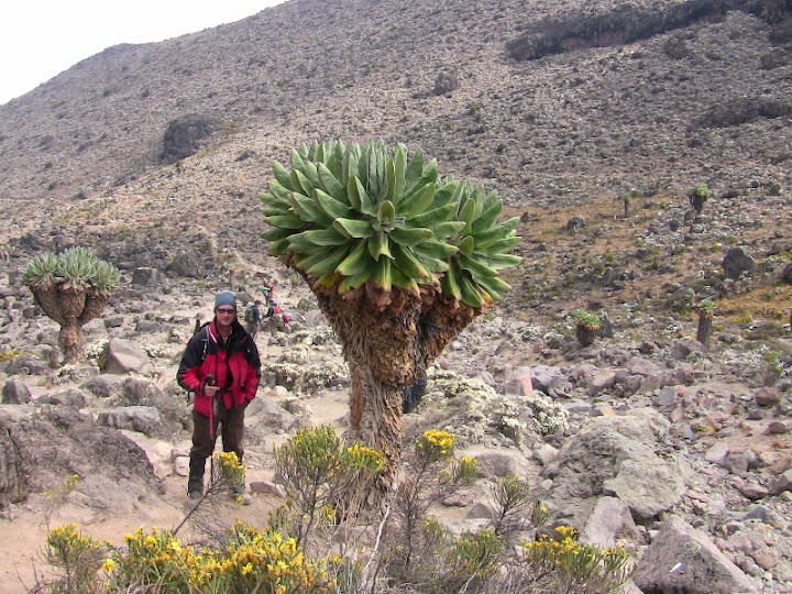
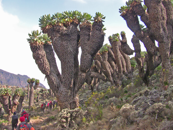
Forest of Giant Groundsels (Senecio Kilimanjari) which grow as high as five metres and thrive between 2500 and 4000 metres above sea level.
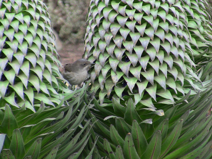
Female Eastern Double Collared Sunbird on a Lobelia
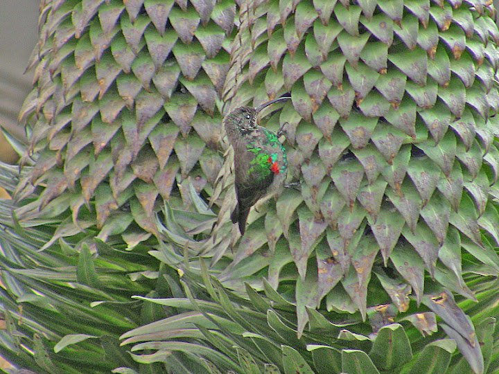
Male Eastern Double Collared Sunbird on a Lobelia
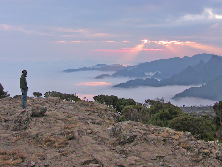
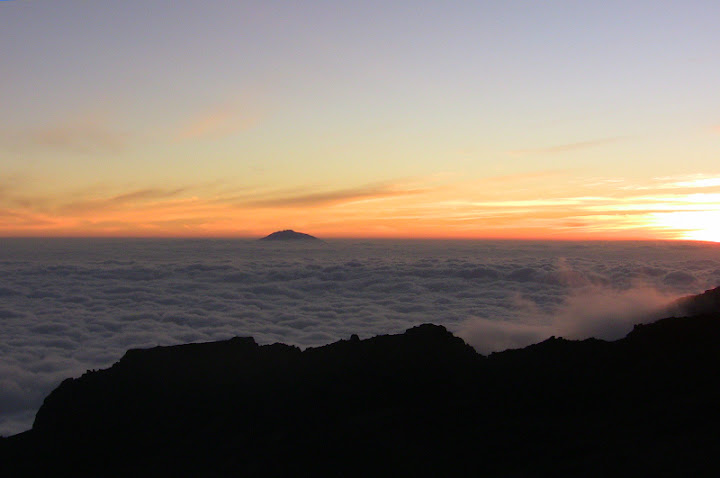
Sunset at Barranco Camp.
Giant Groundsel at Barranco Camp.
Lobelia in the early morning - opening with the first rays of the sun.
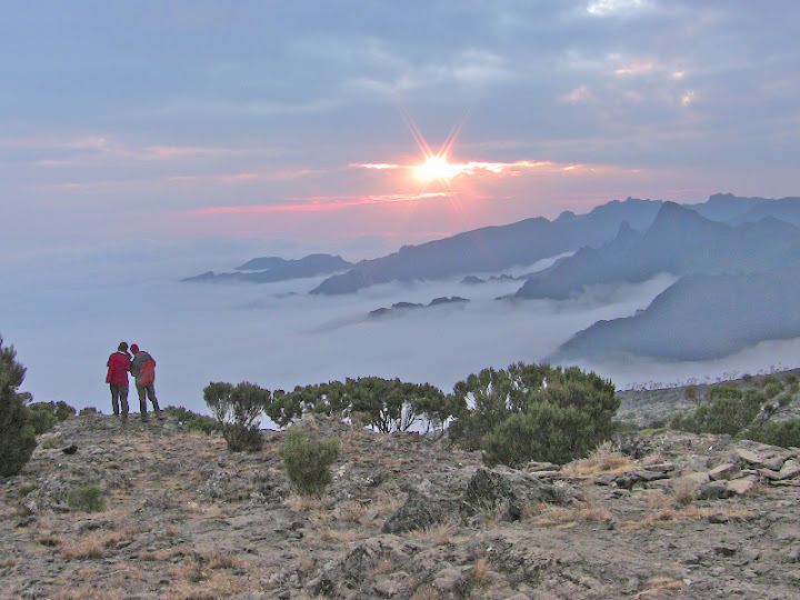
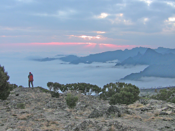
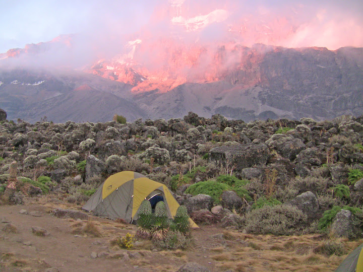
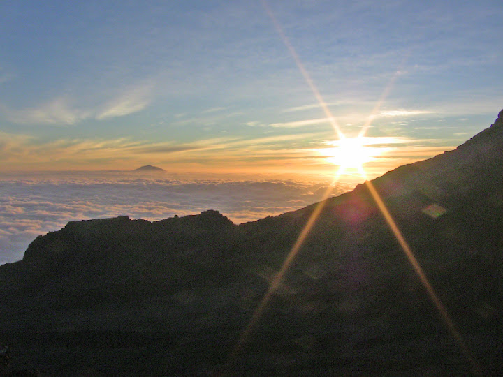
Sunset at Barafu Camp - 4600 metres - view from the tent.
Sunset at Barafu Camp - 4600 metres.
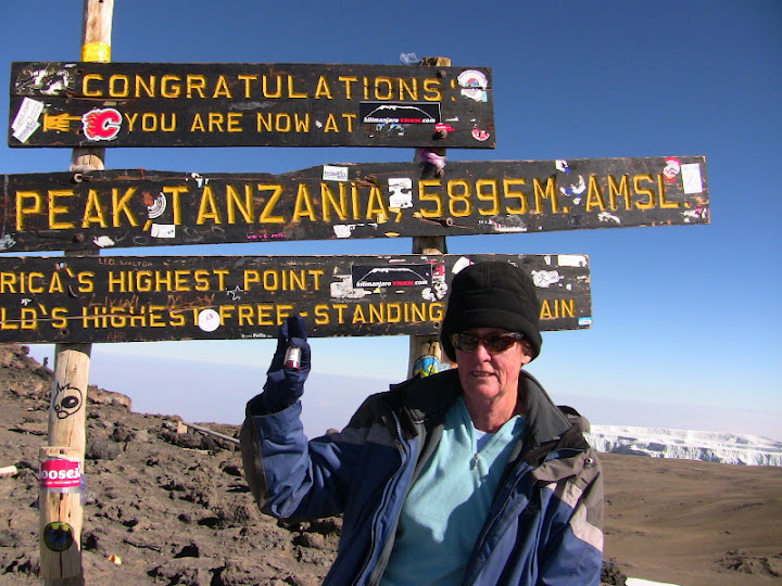
Sylvia at Uhuru Peak 8:30 am 6 September 2009 - holding a sewing thimble from South Africa. Sylvia collects sewing thimbles.
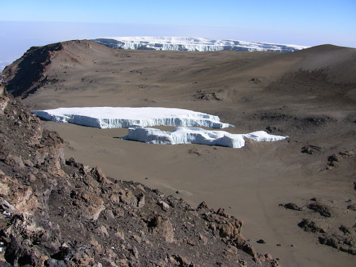
Part of the glacier.
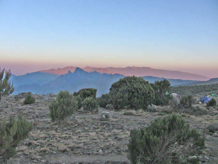
The peak from Mweka Hut - 3100 metres.
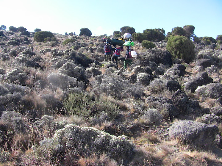
Descending the Mweka Trail.
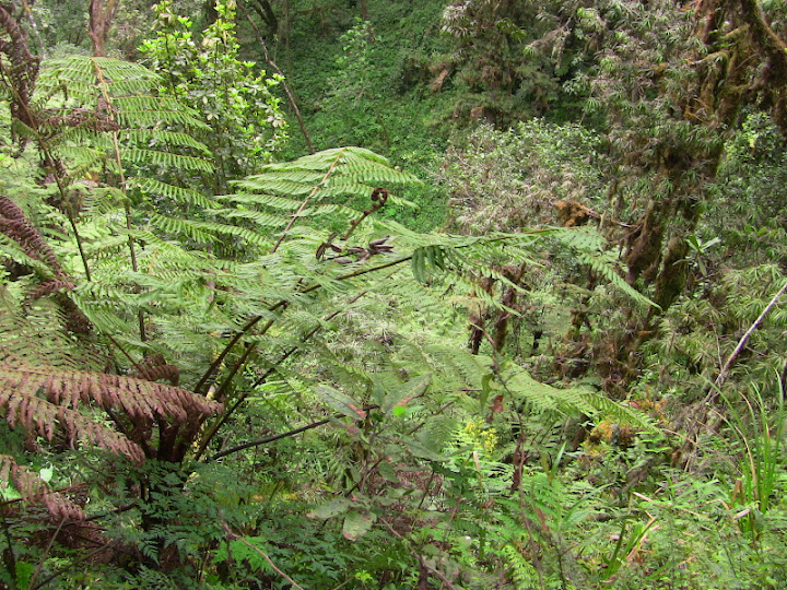
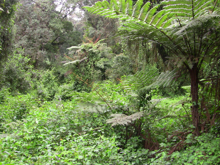
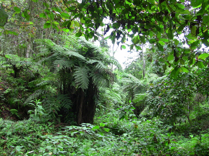
Tree Ferns.
Flower seen at the exit gate.